The LAD Blog
The blog is one of the most dynamic sections of LAD: Laboratory of Digital Archaeology at Sapienza, gathering contributions of varying length — reviews, news, tutorials, notes on projects, technologies, tools, and standards used in archaeological research. It's an open, collaborative space: external contributions are welcome and encouraged — write to julian.bogdani@uniroma1.it.
Featured
In 2021, version 4 rebuilt BraDypUS "under the hood" while leaving the interface almost untouched; version 5 does the opposite: a brand-new interface, a public API redesigned from scratch and a first family of archaeology-specific plugins. Data migration from existing applications is automatic and requires no manual work by administrators
Read more →
Published on 15 September 2026
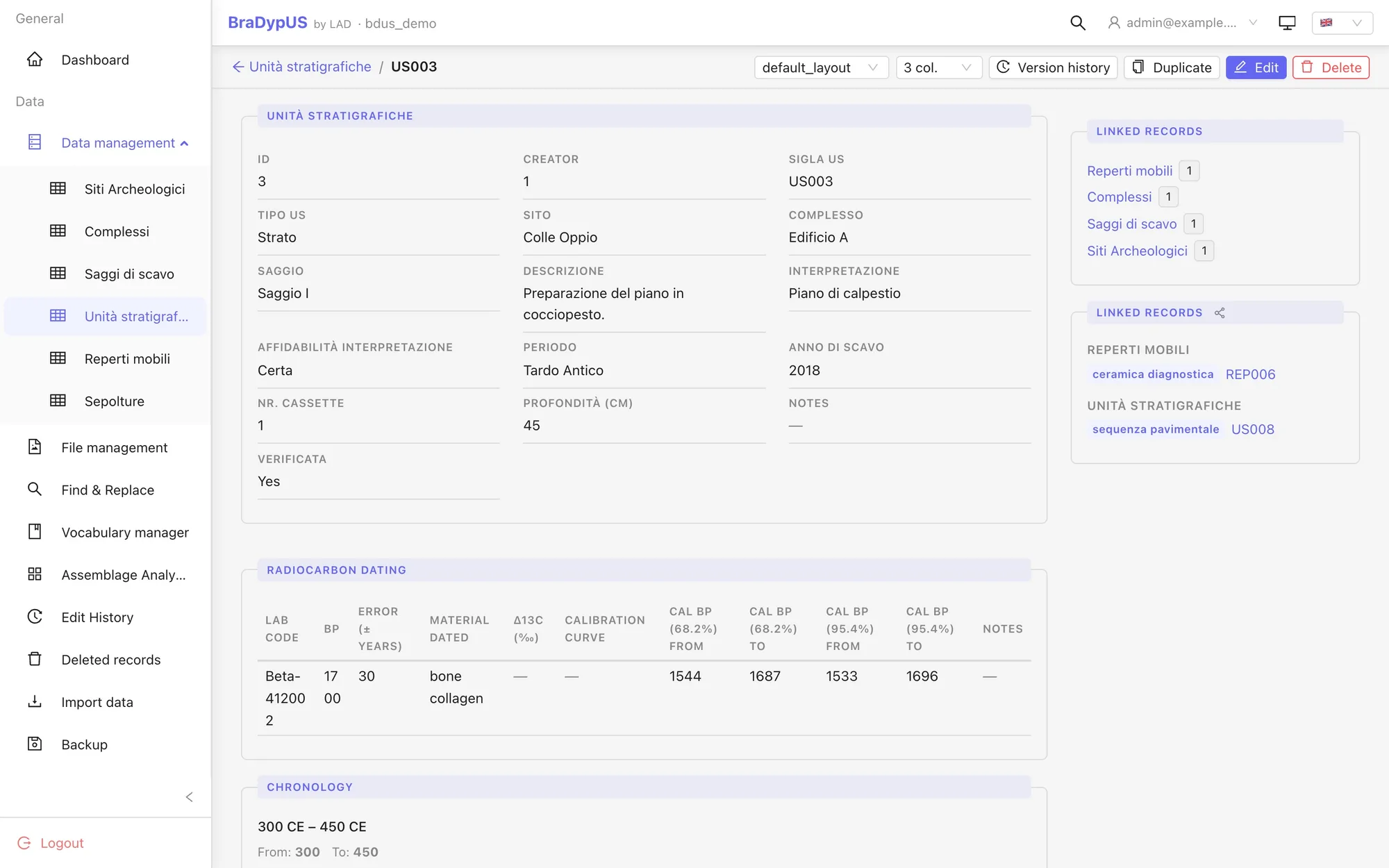
The radiocarbon plugin in BraDypUS 5 records lab C14 determinations — BP and error — and calibrates them automatically against the IntCal20 curve, returning calendar-year ranges ready for search. It's an experimental plugin: here we explain what it does, how to use it, what it does NOT do yet, and in the appendix the calibration algorithm line by line.
Read more →
Published on 9 September 2026
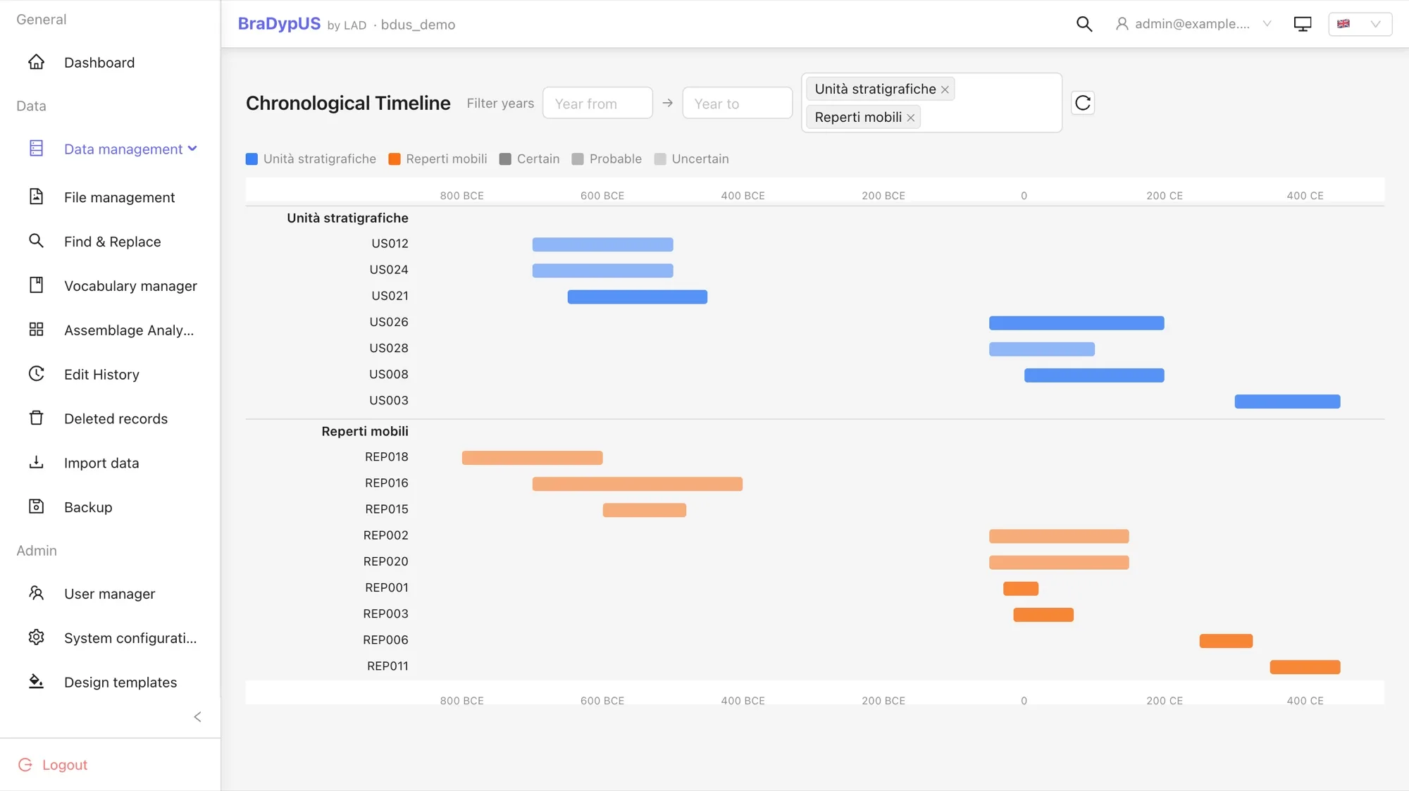
In 2021 we reviewed the ways of encoding chronology in an archaeological database — a range of years, the EDTF standard, period gazetteers — and concluded that the only workable route was a hybrid. The fuzzy_date plugin in BraDypUS 5 is that hybrid, in production: searchable year-range storage, an expressive input grammar (centuries, quarter-centuries, ante and post quem), a certainty axis and a period label. Here we explain it from scratch, with many examples drawn from the excavation at Çuka e Ajtoit, and show how it interweaves with search, the map, the timeline and the derived chronological distribution.
Read more →
Published on 29 April 2026
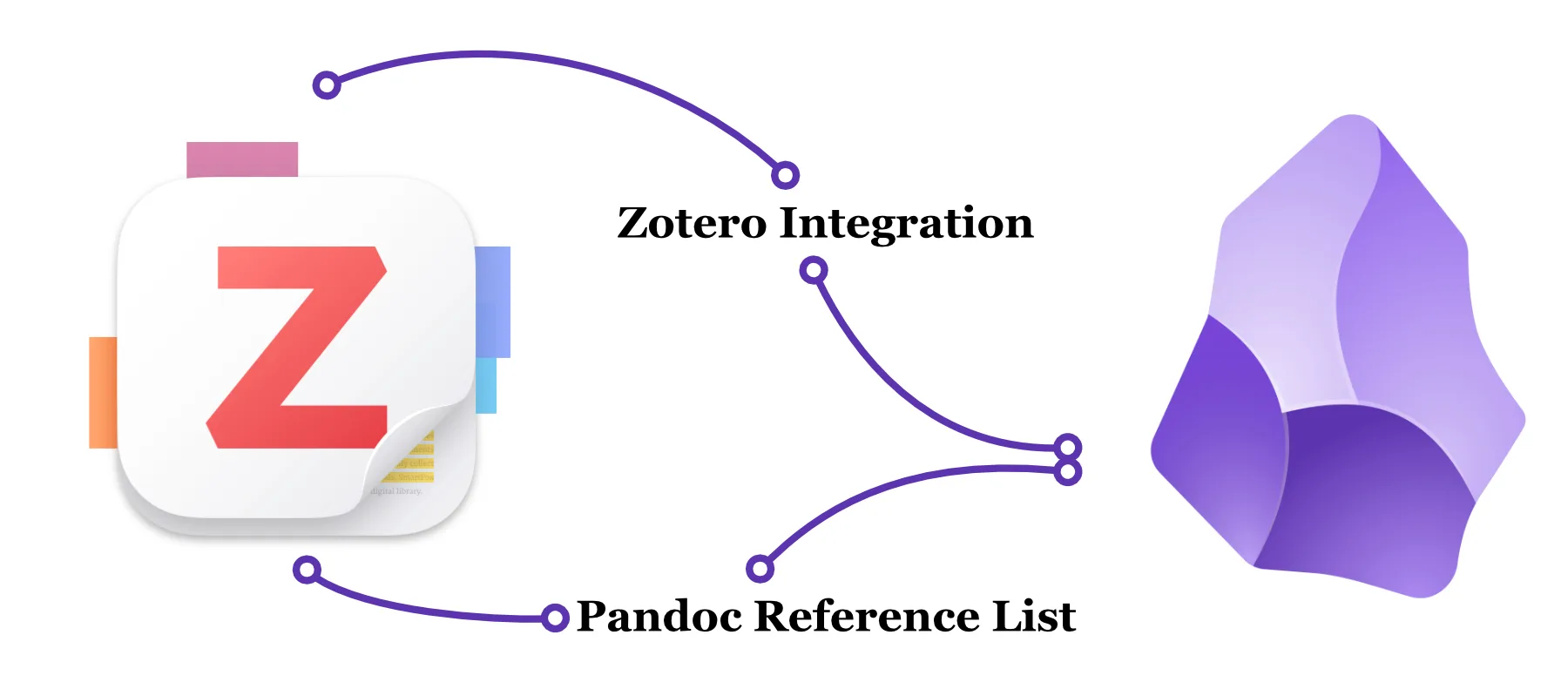
A practical guide to using Zotero Integration and Pandoc Reference List in Obsidian: how to insert citations in Pandoc format and automatically generate the bibliography list through Zotero's local server.
Read more →
Published on 27 April 2026
We present AITracer, a QGIS 4 plugin developed by LAD that uses SAM2 (Segment Anything Model 2) to automatically digitize features from raster layers: just click on the object you want to vectorize.
Read more →
Published on 12 March 2026
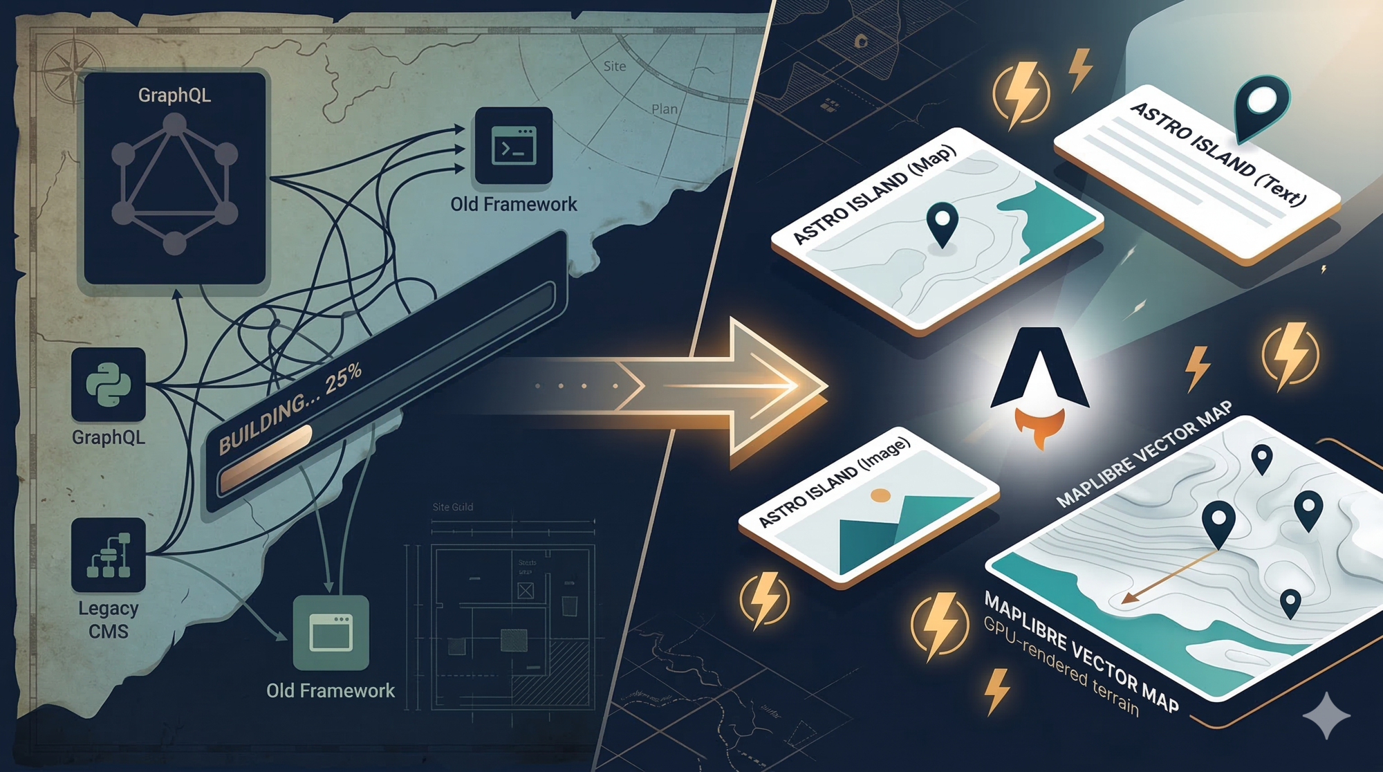
New version of s:CMS, the content management system developed by LAD
Read more →
Published on 20 October 2025
geoNamesFromPdf is an open-source tool for the automatic extraction of place names from PDF files, aimed at the spatial analysis of scholarly bibliography. First presented in October 2025, it was substantially revised in August 2026: new architecture, bug fixes, structured output and gazetteers with coordinates.
Read more →
Published on 12 October 2025
LAD presents an open source extension for Directus that automates synchronization with group Zotero libraries, eliminating duplicate bibliographic work and ensuring consistent citations through REST APIs and automated nightly synchronization.
Read more →
Published on 5 June 2025
In this article we present DirectusImporter, a plugin developed by LAD at Sapienza to simplify and automate the integration of data stored in Directus into QGIS
Read more →
Published on 9 March 2025
The spread of increasingly capable open source programs for managing geographic data, such as QGIS, together with the resulting growth in the number of spatial data creators, has brought out the need for systems to manage this mass of data for public use. This article offers an overview of the most interesting open source tools available today for this purpose.
Read more →
Published on 31 August 2024
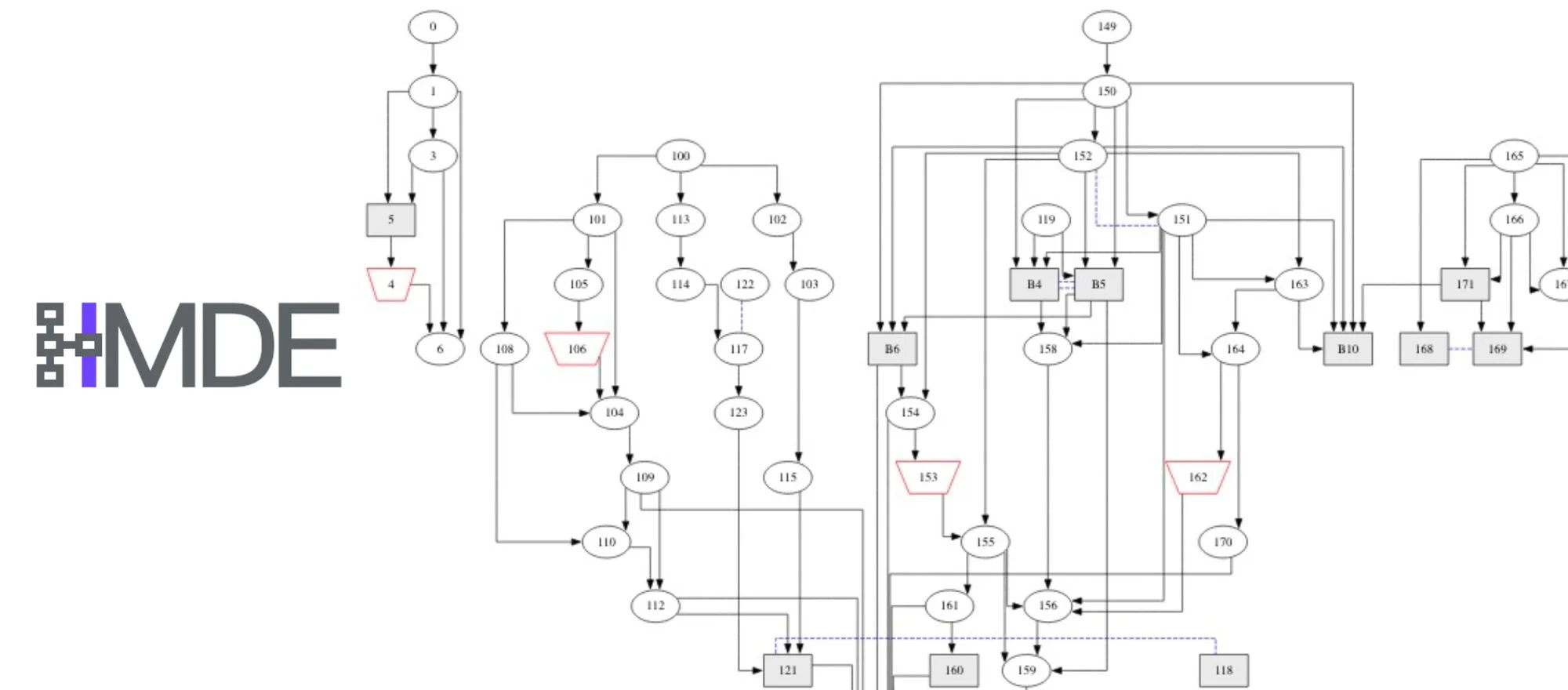
HDME: Harris Matrix Directus Extension is a new plugin developed by LAD for the interactive construction and visualization of Harris Matrices within relational databases built with the Directus.io platform. The plugin has been successfully tested in the excavation documentation of the LAD mission at Çuka e Ajtoit (Albania), where Directus.io has been in use for over a year.
Read more →
Published on 27 November 2023
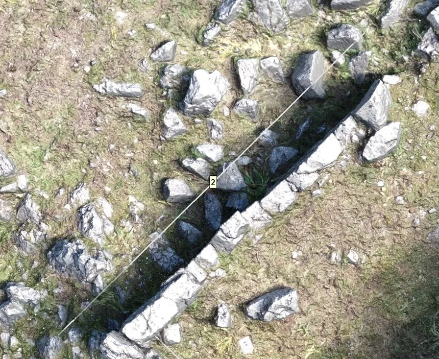
The increasingly widespread use of archaeological survey methods based on photogrammetry makes it necessary to develop procedures that allow the “traditional products” of archaeological documentation to be recovered from 3D models. While the creation of plans is natively handled by specialized software, such as the extremely popular Agisoft Metashape, producing elevations and sections requires extra work. This article aims to offer a few more tools in this direction.
Read more →
Published on 13 December 2022
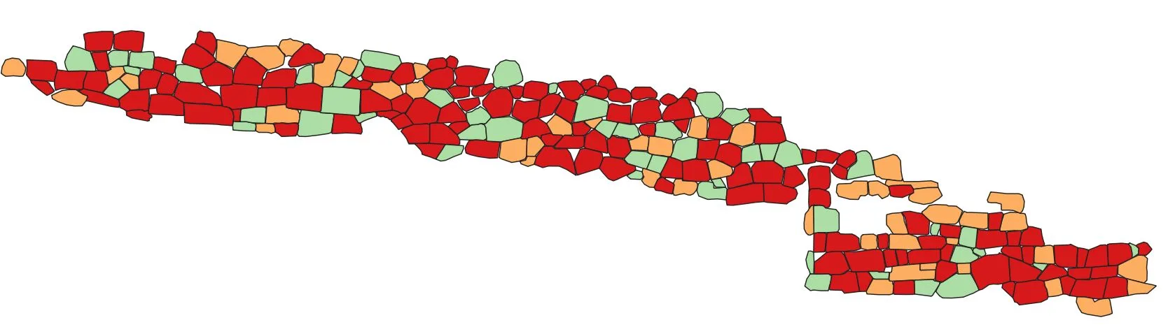
In this article we will explain how to automate the collection of statistical data on the metrology used in ancient masonry facings, using QGIS
Read more →
Published on 28 October 2022
GeoNode is a widely used software for sharing geographic data, employed by numerous public and private organizations to manage and distribute various types of cartographic and other resources.
Read more →

Published on 28 October 2022
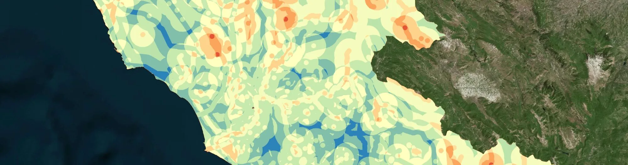
In this guide we will look at a use case of multi criteria weighted-overlay analysis using QGIS software. We will consider a concrete case study, an archaeological question relating to a well-defined chronological and geographical context...
Read more →
Published on 26 April 2022
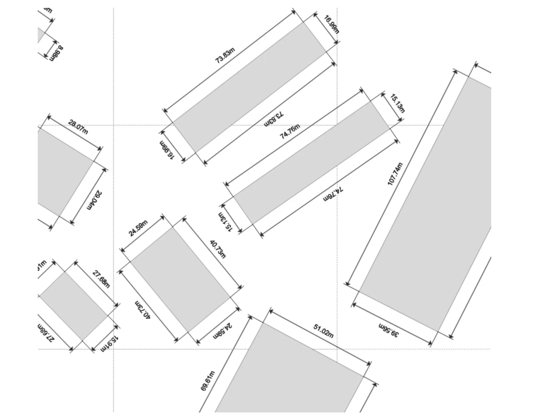
Git is today the most famous and widely used software for version control, used in the vast majority of software development projects, but it can also be extremely useful in many different scenarios that have nothing to do with development as such.
Read more →

Published on 1 April 2022
Geographic Information Systems (GIS) are a vast world, often complex to deal with and manage. In this article we suggest some open source resources that can help users of various levels and experience. The list is constantly being updated and focuses on the resources available for QGIS software..
Read more →
Published on 24 March 2022
Sacri lapides Aegypti is a FARE MIUR project hosted at Sapienza University of Rome by the SARAS Department and directed by Paola Buzi, full professor of Egyptology and Coptic Civilization at the same University and director of the DigiLab Sapienza research centre. SLA was launched in 2017 as a direct continuation of the 2015 ERC Advanced project PAThs, of which it aims to be an archaeological in-depth study...
Read more →
Published on 21 March 2022
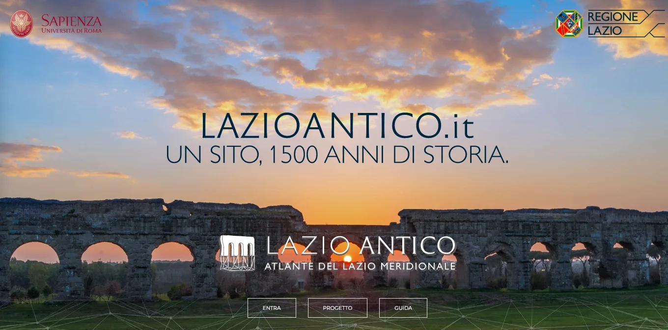
The Lazio Antico portal, curated by Sapienza University of Rome and the Lazio Region, offers a complete digital mapping of the archaeological heritage, sites and features relating to the ancient world in a period ranging from the mid-9th century BC to the mid-6th century AD.
Read more →
Published on 5 March 2022
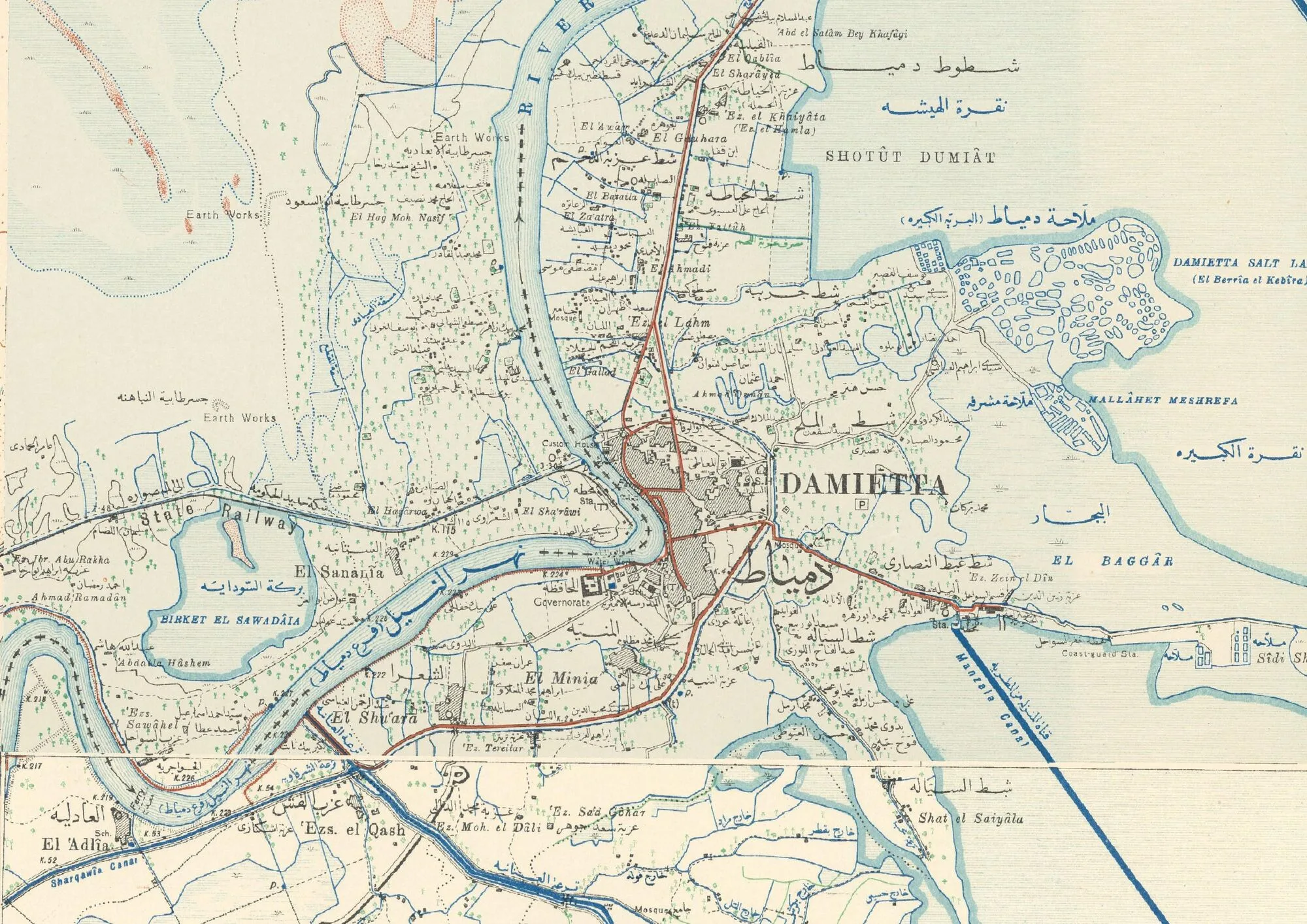
It is now a well-known fact that historical cartography is an increasingly valuable tool for archaeological research. Here then is an annotated, reasoned list of various free-access online sources of historical cartography..
Read more →
Published on 3 March 2022
This short article describes the use of the SQL `CASE` statement, presenting an archaeological case study
Read more →

Published on 22 August 2021
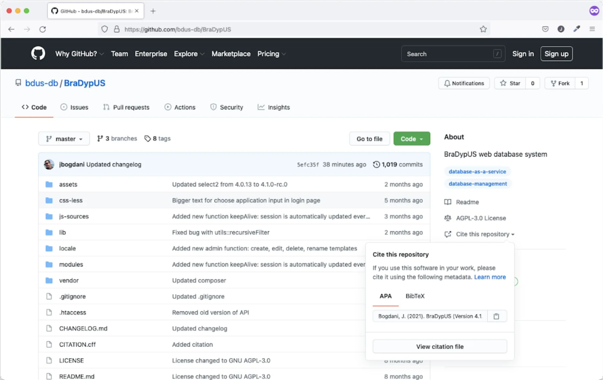
Scientific research increasingly relies on programming and code writing. For this reason, a bibliographic citation standard for digital repositories has emerged, allowing them to be recognized academically.
Read more →
Published on 30 July 2021
The digital encoding of chronology in databases is a well-known problem in archaeology and, more generally, in the humanities. Beyond the concrete issues of searchability, the ability to formally encode uncertainty and approximation is also a relevant question. The EDTF standard introduces some very interesting solutions, although not yet fully mature for widespread use.
Read more →