

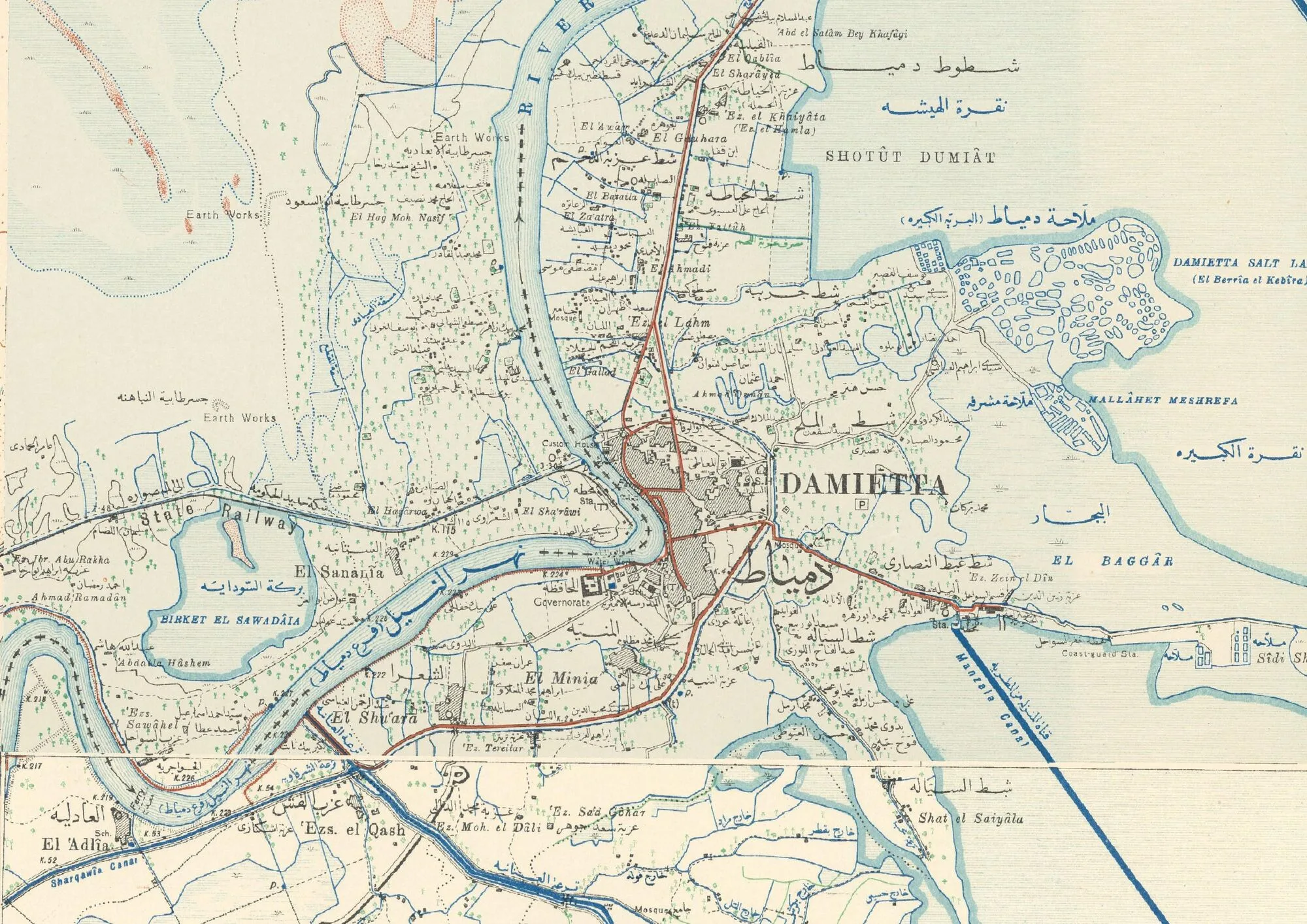
It is now a well-known fact that historical cartography is an increasingly valuable tool for archaeological research, and in particular for that branch of the discipline most focused on studying the change of landscape over time, Landscape Archaeology. Moreover, the historical map is a fundamental document in its own right, and as such it is considered important not only in archaeology but, more broadly, across all the humanities disciplines. In this article — continuously updated — the main online libraries containing documents related to historical cartography are listed in alphabetical order, available under various types of licenses and download arrangements.
This is a selection of sources that we find ourselves using almost daily in our lab, but it is far from complete. Please let us know of any additions or corrections by writing to julian.bogdani@uniroma1.it.
3rd Military Mapping Survey of Austria-Hungary
- URL: http://lazarus.elte.hu/hun/digkonyv//topo/3felmeres.htm
- License: not specified.
- Last updated: 2022-03-07
This is the complete collection of the third Austro-Hungarian military survey campaign, drawn at a scale of 1:200,000 and made up of about 265 sheets. About 17 sheets are missing from the inventory, which were probably never published. The longitude of all the maps is referred to the Ferro meridian (MGI(Ferro)EPSG:4805). The dataset is offered by the Hungarian Institute of Cartography and Geoinformatics.
Biblioteque Nationale de France
- Url: https://gallica.bnf.fr/html/und/cartes/cartes?mode=desktop
- License: various types of licenses
- Last updated: 04-03-2022
The Bibliotheque Nationale de France has a very rich collection of historical maps, organized by country and accompanied by detailed metadata. Many maps are in the public domain and can be freely reused. Documents can be downloaded at medium resolution or shared in IIIF format. In addition to technical and historical metadata, the maps are also accompanied by semantic tags and links to other maps in the collection that encourage discovery.
British Library
- Url: https://www.flickr.com/photos/britishlibrary/albums/72157716220271206
- License: various types of license
- Last updated: 03-03-2022
The British Library has recently made available, under open access, on Flickr, the scans of the prestigious KTop collection, the personal collection of printed and manuscript topographic maps belonging to King George III. The collection includes documents produced between 1500 and 1800 and covers locations all over the world, with a wide range of granularity in the maps: from mappae mundi to detailed representations of individual cities or even buildings. Each image comes with rich metadata that make the collection highly usable.
David Rumsey Map Collection
- Url: https://www.davidrumsey.com/
- License: CC BY-NC-SA 3.0
- Last updated: 14-02-2022
The David Rumsey map collection is today one of the richest on the Web. The entire collection contains more than 150,000 maps, atlases, globes, nautical charts, school maps, pocket maps, exploration books, sea charts and a variety of cartographic and manuscript materials from all over the world.
Digitization of the collection began in 1996 and continues regularly to this day http://www.davidrumsey.com/rumsey.pdf. The site offers the option of downloading the maps for free or purchasing them in printed form.
Most of the images are available in various digital formats at different resolutions, not georeferenced. It is therefore up to individual researchers who want to use this cartography on their own GIS platforms to georeference it correctly before use. However, an important collaborative initiative is underway, involving an entirely online, web-based tool developed in collaboration with georeferencer.com for the collaborative georeferencing of maps. The tool makes it possible to georeference an image in a graphical environment, by identifying and matching corresponding points (GCP: Ground Control Points) and saving the result to the cloud. The georeferenced image can be displayed as an overlay on a web basemap, and it can also be used in desktop GIS projects, in various formats: by downloading a GeoTIFF file, or as a web service (Web Map Service) using open protocols such as WMTS, TileJSON or XYZ. The cloud service currently holds about 66,781 maps georeferenced by users, along with a very useful geographic search tool for exploring them.
IMPORTANT: Since 2021, the David Rumsey collection has also been hosted within the online collection of the Stanford Libraries.
Instanbul Urban Database (IUDB)
- Url: http://www.istanbulurbandatabase.com/
- License: various types of licenses
- Last updated: 14-02-2022
The Istanbul Urban Database is a project created by Nil Tuzcu aimed at digitizing the historical urban planning archives of Istanbul. Today the IUDB is the most complete digital archive of Istanbul’s urban history.
Interactive Nolli Map
- Url: https://nolli.stanford.edu/
- License: various types of licenses
- Last updated: 14-02-2022
The Interactive Nolli Map website from the University of Oregon was created in 2005 by James Tice and Erik Steiner, with the assistance of Allan Ceen. The site features an interactive version of the famous Nuova Topografia di Roma (1748) map by Giovanbattista Nolli.
Having acquired and digitized all the data present in the index accompanying the map, the creators of the project made it possible to search individually for places, buildings and streets, making the project one of the most important sources for the study of Nolli’s map and of Roman urban planning.
Library of Congress Maps
- Url: https://www.loc.gov/maps/
- License: CC BY-SA-NC
- Last updated: 14-02-2022
The Library of Congress, founded in 1800, is currently located on Capitol Hill (Washington D.C. - United States) and is one of the most important research venues for the United States Congress, as well as the seat of the U.S. Copyright Office. Its collection holds millions of books, recordings, photographs, newspapers, and manuscript and cartographic documents updated in real time. As far as the latter are concerned, the library holds approximately 433,861 in situ in total, while the website currently makes 56,202 maps available for download/viewing online.
The maps can be downloaded in a variety of formats and resolutions, optimized for various uses, including the original scans in lossless formats such as TIFF. The metadata section associated with each file is very carefully curated and often includes the Manifest file (JSON/LD) for use with IIIF services.
Mapstor.com
- Url: https://mapstor.com/
- License: various types of licenses
- Last updated: 14-02-2022
Mapstor.com is a website that today hosts about 95,020 topographic maps published by European, American and Russian military and state agencies between the 19th and 20th centuries. Some time ago it was possible to download individual files (topographic sheets) for free, and, for a fee (at more than reasonable prices), entire topographic coverages. Today, even downloading individual files costs €1.00. Downloading entire archives, organized by country, map scale and edition series, remains very good value. The files are sold georeferenced, accompanied by the OziExplorer .map file, which should be correctly displayable in the most recent versions of QGIS.
National Library Of Australia
- Url: https://www.nla.gov.au/copyright-and-the-maps-collection
- License: The National Library of Australia
- Last updated: 14-02-2022
The National Library of Australia’s collection holds about 1 million maps, both in print and digital format. The online maps (about 42,585) are freely downloadable in high resolution.
National Library of Scotland
- Url: https://maps.nls.uk/
- License: various types of licenses
- Last updated: 03/03/2022
The National Library of Scotland offers a large digital collection of historical maps — from 1700 onwards — covering almost the entire United Kingdom and some former Commonwealth territories. Many of the maps are georeferenced and available in high-quality WMTS format. Licenses vary depending on the publication date, but in general the NLS encourages the reuse of its data, along with several crowdsourcing initiatives for transcribing historical (often handwritten) maps. In particular, for the Ordnance Survey (OS) series, the various maps representing the entire territory of Great Britain have been merged to create a single continuous, zoomable and fully georeferenced layer. The maps in the OS series are notable for depicting a large number of historical and archaeological features.
New York Public Library
- Url: https://digitalcollections.nypl.org/
- License: various types of licenses
- Last updated: 14-02-2022
The New York Public Library today holds 910,629 documents in its collection. The library’s website is continually updated with new material, including prints, photographs, manuscripts, maps, videos and much more.
As far as the New York Public Library’s cartographic collection is concerned, it now boasts about 26,260 documents scanned in high resolution and freely downloadable.
Old Maps Online
- Url: https://www.oldmapsonline.org/
- License: All rights reserved to the institutions hosting the maps and metadata
- Last updated: 14-02-2022
A project born from the collaboration between Klokan Technologies GmbH (Switzerland) and The Great Britain Historical GIS project (University of Portsmouth, England), funded by the non-profit organization Jisc.
The site indexes more than 400,000 maps from all over the world, as well as links to the websites of associations, academic institutions, foundations, libraries, etc., where they can be downloaded, purchased or requested for consultation. Since 2013 the site has been run by volunteers from Klokan Technologies GmbH (Switzerland) and is frequently updated with material made available by new participating institutions.
The portal offers several ways to search and browse: by toponym (text) or through a map that can be zoomed and panned to define the search terms. It is also possible to use a slider to better define the chronological search terms.
Paths: Tracking Papyrus And Parchment Paths Repository
- Url: https://docs.paths-erc.eu/data/
- License: various types of licenses
- Last updated: 14-02-2022
The ERC Advanced 2015 project PAThs, directed by Paola Buzi and hosted by Sapienza Università di Roma, aims at the diachronic understanding and representation of the geography of Coptic literary production, for the corpus of texts in the Coptic language produced in Egypt between the 3rd and 13th centuries.
The project has a repository that hosts various types of datasets, both vector and raster. As far as historical cartography is concerned, today PAThs is certainly one of the main reference sites for documentation relating to Egypt, hosting georeferenced topographic series drawn up from 1800 up to some published as late as 1985. All the data is released under open licenses and can be used in third-party projects thanks to its distribution in open formats or protocols.
Petro Vlasenko Maps
- Url: https://maps.vlasenko.net/
- License: Petro Vlasenko
- Last updated: 14-02-2022
The Petro Vlasenko map collection hosts Soviet military topographic maps of the entire world at various scales (starting from 1:50,000).
IMPORTANT: In order to comply with the requirements of local legislation (Kyiv, Ukraine), the 1:50,000 and 1:100,000 maps of Ukraine and the 1:50,000 maps of Russia have been removed from the site.
Stanford Libraries
- Url: https://searchworks-lb.stanford.edu/
- Licenses: various types of licenses
- Last updated: 14-02-2022
The Stanford Libraries today host 30 cartographic datasets within the Digital collections section. These refer to collections or repositories of geographic documentation that are part of the library’s database, from which the materials can be downloaded directly.
Texas Geodata Portal
- Url: https://geodata.lib.utexas.edu/
- License: various types of licenses
- Last updated: 14-02-2022
Very recently published, the University of Texas geoportal collects all the geospatial data present in the documents held by this university’s libraries. Among the cartographic collections is also the famous Perry-Castañeda Library Map Collection, previously hosted on another website belonging to the same academic institution.
The geoportal contains both raster and vector datasets, also shared by other universities through GeoBlacklight and the OpenGeoMetadata collaboration.