

Geographic Information Systems (GIS) are a vast world, often complex to deal with and manage. In this article we suggest some open source resources that can help users of various levels and experience. The list is constantly being updated and focuses on the resources available for QGIS software!
QGIS HUB
QGIS Hub is a repository that hosts a range of open source resources for QGIS. The site is currently divided into two sections (Layout-Hub and Style-Hub) for publishing, respectively, layouts and styles for use in your own GIS projects. QGIS Hub was conceived and is maintained by Klas Karlsson. The resources are distributed (and must be released) under a Creative Commons 0 (CC-0) license.
- Layout-Hub offers the possibility of freely downloading a range of predefined, carefully designed layouts for publishing map plates through QGIS. There are currently 12 layouts on offer, all published by Klas Karlsson. You can submit your own templates to make them public and available to the whole QGIS community. The guidelines for creating and publishing a template to submit to QGIS Hub are outlined on the site.
- Style-Hub offers the possibility of freely downloading and importing a range of predefined styles and symbologies in .xml format. The styles currently on offer have been published by various authors. You can submit your own styles to make them public and available to the whole QGIS community. The guidelines for creating and publishing a style to submit to QGIS Hub are outlined on the site.
QGIS Resource Sharing
The QGIS Resource Sharing plugin, created by Akbar Gumbira and Håvard Tveite, is a large container of collections of symbologies, images, styles, processing scripts, processing models and R scripts, all usable in QGIS. Downloading the plugin gives access to a list of all the repositories in which these datasets are published, with a preview of their content. Once you have found the repository you are interested in, you can download it and use it in your own project.
QGIS Style
QGIS Style is an official QGIS repository where you can download and publish various types of styles for use in your own GIS project (color ramps, fills, lines, legend patch styles and markers).
The dataset is genuinely substantial: the list currently counts 114 records, ranging from niche style libraries to more well-known ones, such as, for example, the Mapbox icon set.
For the topics covered on this blog, we would like to highlight a few specific libraries that seem particularly interesting to us:
- Basic Legend Patches Set;
- HLURB Land Use Categories and Color Coding (2014);
- Italian regions;
- Measure Line;
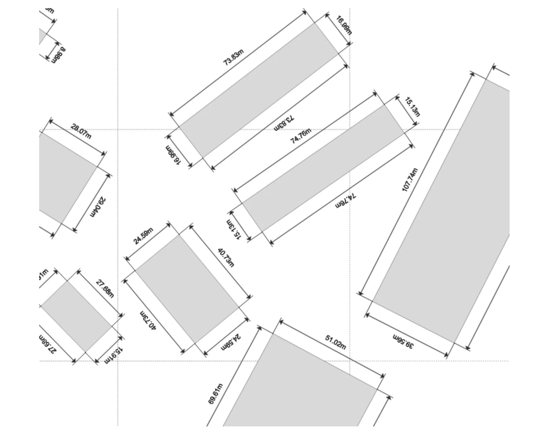
- Polygons with measurements;
- Water Flow.
The list certainly does not end with these entries, which are only meant as a starting point among the possibilities offered by this fully open source resource, released under the Creative Commons Attribution-ShareAlike 3.0 licence (CC BY-SA).
Guide 1: downloading, importing and using the legend patches set style
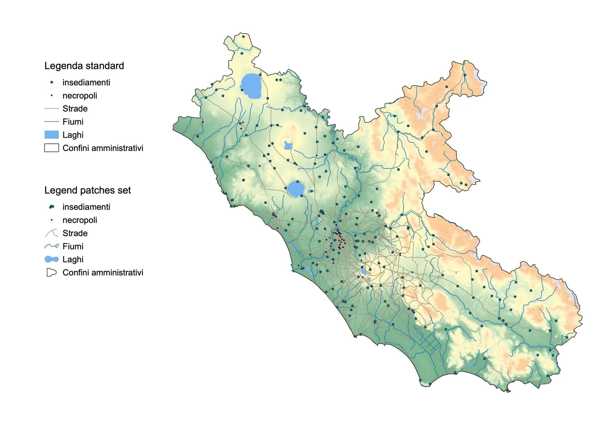
- Download the package from the QGIS Style repository at the link https://plugins.qgis.org/styles/9/.
- Once downloaded, unzip the
basic-legend-patches-set.zipfile. You will get a folder namedBasic Legend Patches Set. - Use the resource in a layout in QGIS:
- Open the GIS project;
- In the
Layerspanel, select one of the vector layers present; - In the
Layer Properties Panel, select theSymbologyentry in the left-hand vertical menu; - Select the
Style managerfunction; - From the
Style manager, import thepatch.xmlfile contained in theBasic Legend Patches Setfolder; - You can use this new icon set by adding the legend for the layers contained in your GIS project to a
print layoutand, underLegend items, changing the icon for each individual vector file by double-clicking on the desired symbol.
Guide 2: downloading, importing and using the water flow style
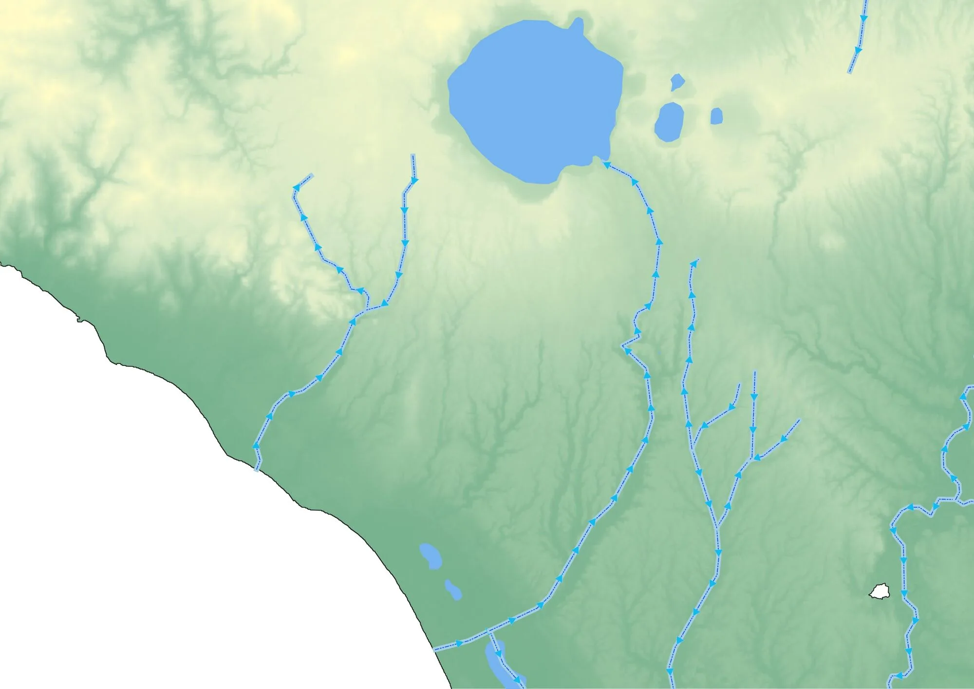
- Download the package from the QGIS Style repository at the link https://plugins.qgis.org/styles/60/.
- Once downloaded, unzip the
water-flow.zipfile. You will get a folder namedWater Flow. - Use the resource in a layout in QGIS:
- Open the GIS project;
- In the
Layerspanel, select one of the vector layers present; - In the
Layer Properties Panel, select theSymbologyentry in the left-hand vertical menu; - Select the
Style managerfunction; - From the
Style manager, import thewater-flow.xmlfile contained in theWater Flowfolder; - You can use this symbology by selecting, in your GIS project, the line/polyline layer that represents the hydrography of the area under study, and applying the
water flowsymbology, which you will now find in the list of symbologies available for line geometries.