

Research project details
- P.I.: Julian Bogdani
- Funding: “Progetti di Ricerca - Progetti Medi” programme of Sapienza University of Rome
- Year: 2021
- Protocol no.: RM12117A420572AC
- Participants:
- Julian Bogdani, julian.bogdani@uniroma1.it
- Gianfranco Agosti, gianfranco.agosti@uniroma1.it
- Fabio Grassi, fabio.grassi@uniroma1.it
- Francesco Guizzi, francesco.guizzi@uniroma1.it
Abstract
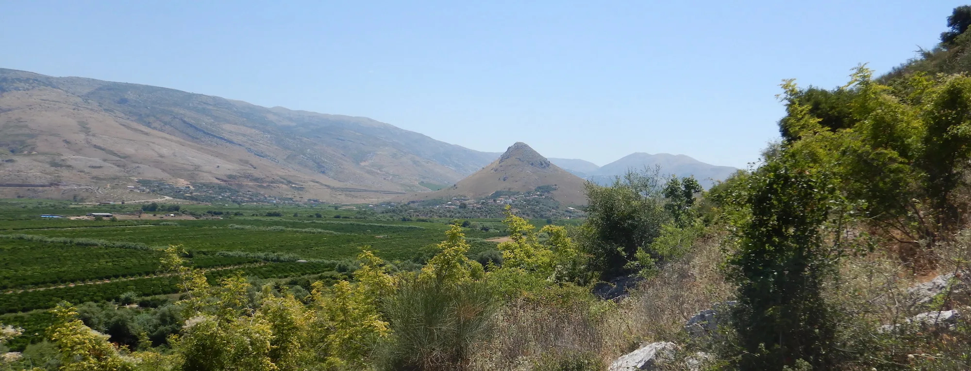
The southernmost tip of Albania is dominated by the sharp profile of the hill of Çuka e Ajtoit, which preserves imposing remains of Hellenistic-period fortifications in polygonal masonry (a unique case in the region), reworked and restored, albeit on a smaller scale, in Late Antiquity. The region, today divided between Greece and Albania, can be identified with the Kestríne of the sources, and the site with Kestría, a well-fortified oppidum, to use Pliny’s definition (N.H. 4.1). In direct visual contact with Butrint, the centre lies at the crossing of one of the few natural corridors linking the hinterland with the Corfu channel, running east-west, where it meets the coastal route to Nicopolis.
The project aims to carry out an in-depth historical-archaeological study of the site and its regional context. Specifically, a historical-epigraphic study of the Hellenistic, Roman and Late Antique periods will be undertaken, focused on diachrony and keeping long-term transformative processes at the centre of attention. The Christianisation of the area is a further research theme, also brought to attention by the unpublished remains of a monastery at the foot of the hill. The project also involves producing an up-to-date, detailed plano-altimetric survey of the visible structures, an essential and still-lacking tool of knowledge, which will form the basis for a new and detailed archaeological reading, in turn to be integrated with the analysis of archival documentation. All the material will be published in an open-access online archive that will become the basis for an analytical study on a regional scale. Finally, it is essential to begin a survey of Ottoman-period cartographic archives for a more precise reconstruction of the region’s landscape, and to set these sources alongside the Western ones already known and productively used in previous research.