

Research project details
- P.I.: Julian Bogdani
- Funding: “Progetti di Ricerca: Progetti Piccoli” programme of Sapienza University of Rome
- Year: 2022
- Protocol no.: AR2221816BB57DE4
- Participants:
- Julian Bogdani, P.I., julian.bogdani@uniroma1.it
- Domizia D’Erasmo, domizia.derasmo@uniroma1.it
Abstract
The documentation of landscape transformations is one of the main sources of information for Landscape Archaeology, which should not, however, be regarded as a discipline separate from Archaeology or indeed from History, but rather as an integral part of the broader effort aimed at the knowledge and understanding of antiquity. Human action is situated within the landscape, is strongly conditioned by it, and in turn contributes decisively to shaping it.
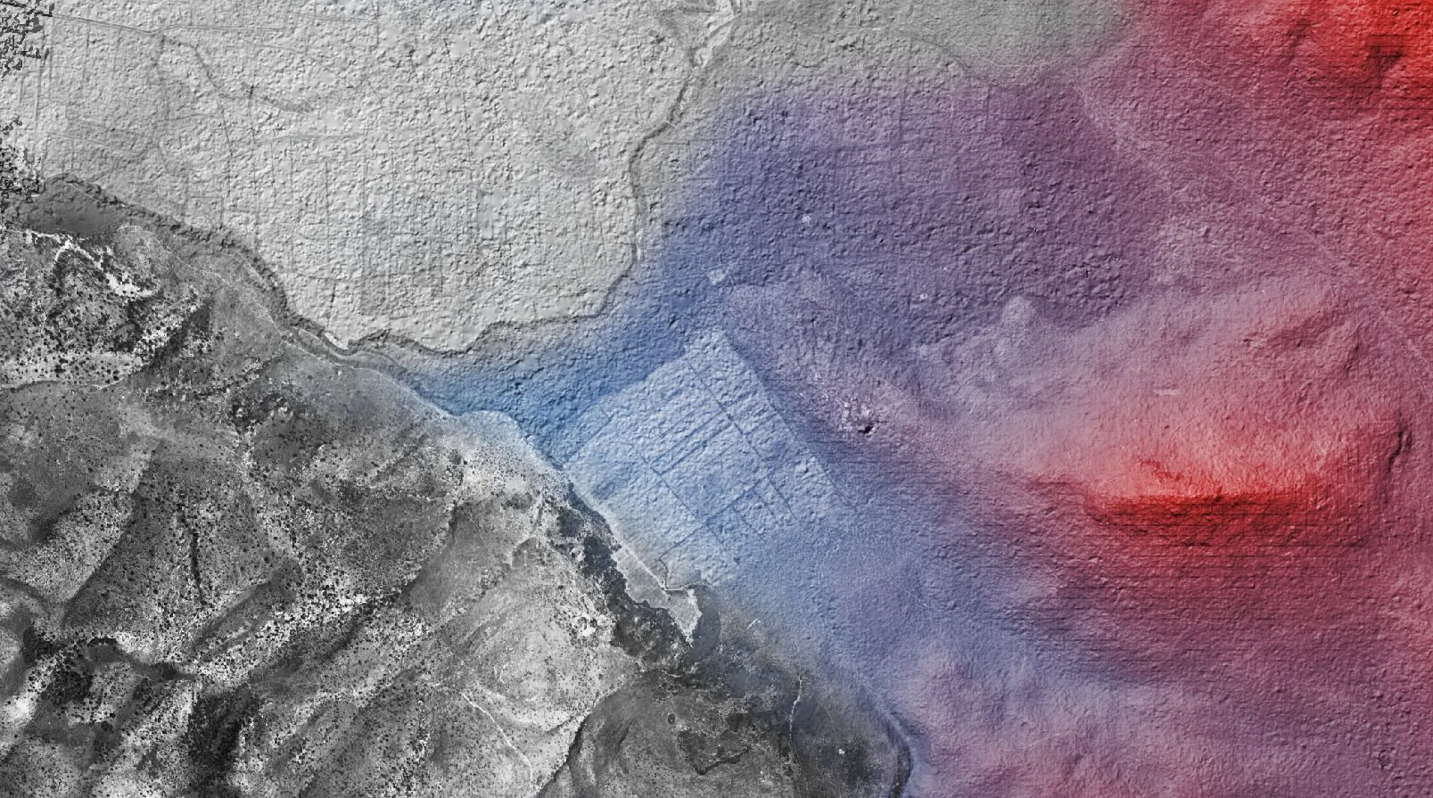
This project aims to acquire, process, georeference and publish in open access a geographic dataset of great importance for Albanian archaeology, namely the aerial photographic coverage produced by the Italian Military Geographic Institute (IGM) in 1937. The aim is to acquire part of the archive relating to the region of present-day Konispoli, where the Sapienza Archaeological Mission directed by the proposer of this project is currently active. This is a geographic area that has undergone radical changes, in the mid-twentieth century when socialist policy reclaimed the area to gain land for cultivation, and, more recently, with the resumption of intensive agriculture, arboriculture and the expansion of the road network. For these reasons too, the IGM’s aerial photographic coverage is an exceptional document for the reconstruction of both the landscapes of the early 1900s and the ancient landscapes.
In recent years, the members of the research group putting forward this proposal, who are affiliated with LAD: Digital Archaeology Laboratory at Sapienza (https://lad.saras.uniroma1.it), have gained significant experience in the field of processing and publishing digital data relating to historical cartography, an experience that culminated in the open-access publication of the geographic data repository for the PAThs project (https://docs.paths-erc.eu/data/).